


Last update 2025-11-05
Distance: approx. 2.7 km
Elevation gain: approx. +82 m
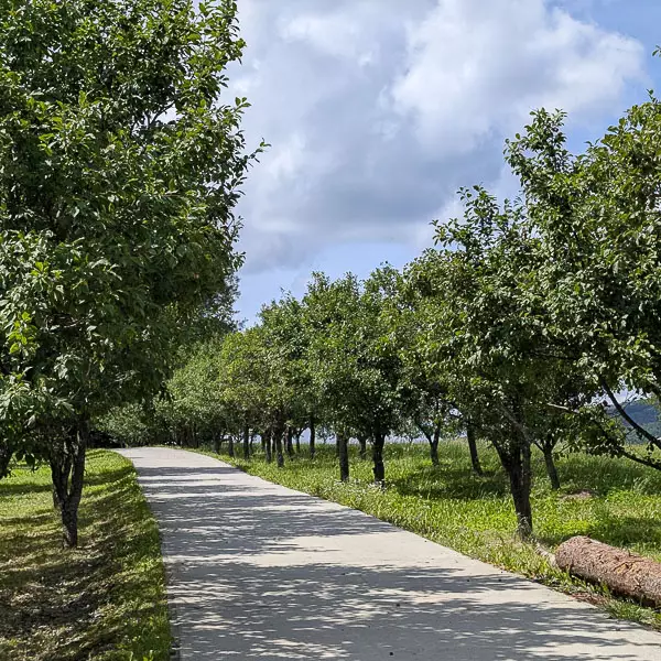
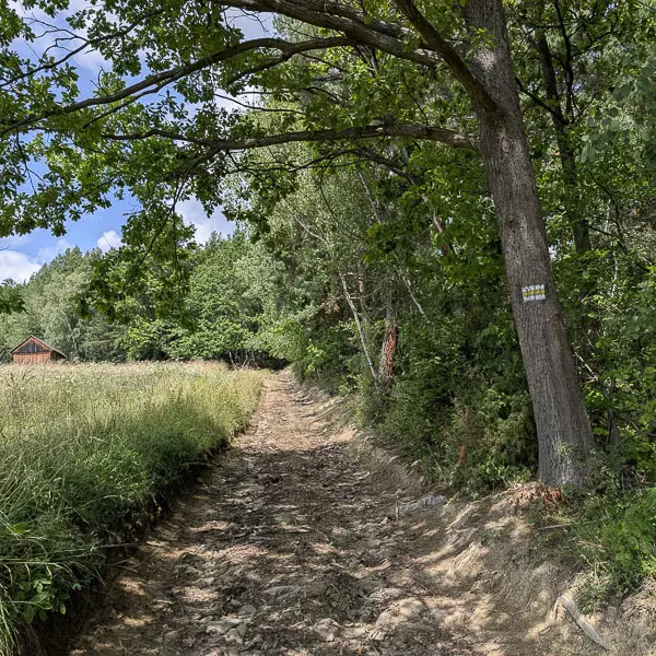
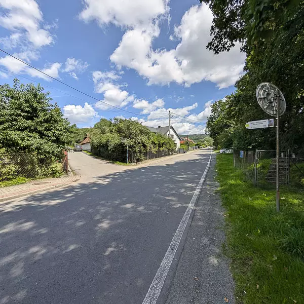
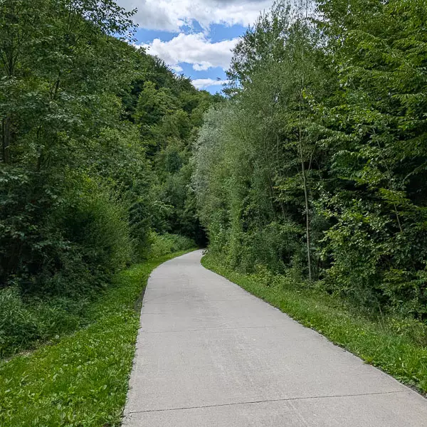
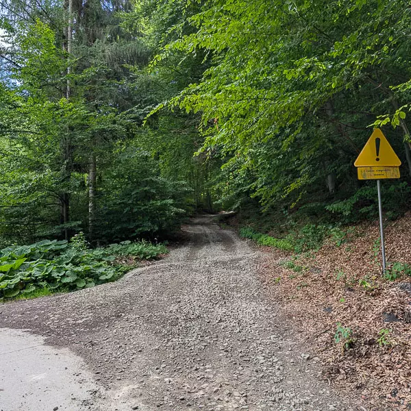
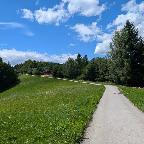
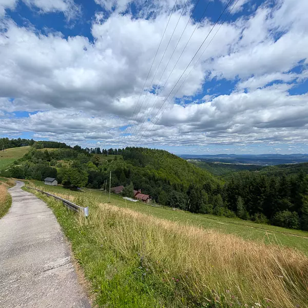
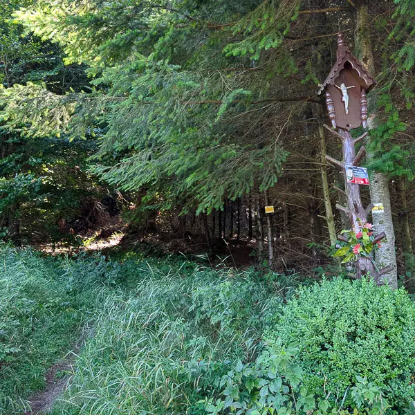
We start the hike at the market square in Łącko. Following the yellow trail to the northeast, we walk along the asphalt road leading toward Kicznia. The route ascends gently and runs for about 2.4 km through houses and orchards. The last 300 meters follow a dirt road leading to the edge of the forest, where the asphalt ends. Here begins the mountain section of the trail toward Mała Modyń.
Distance: approx. 5.5 km
Elevation gain: approx. +400 m / –30 m
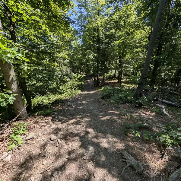
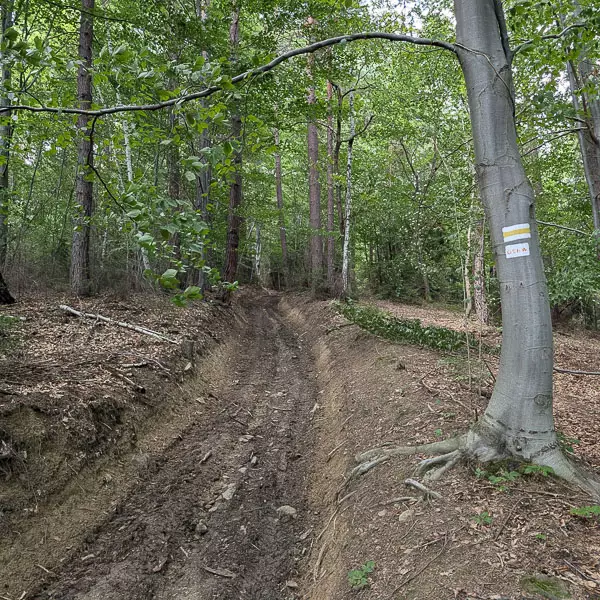
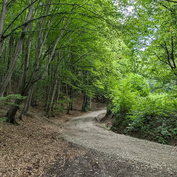
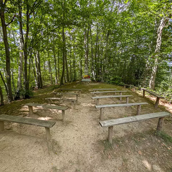
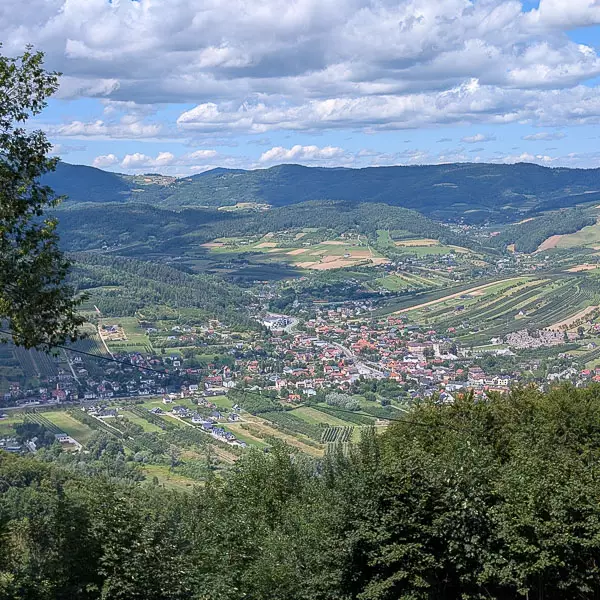
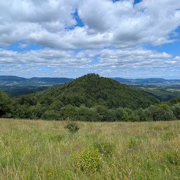
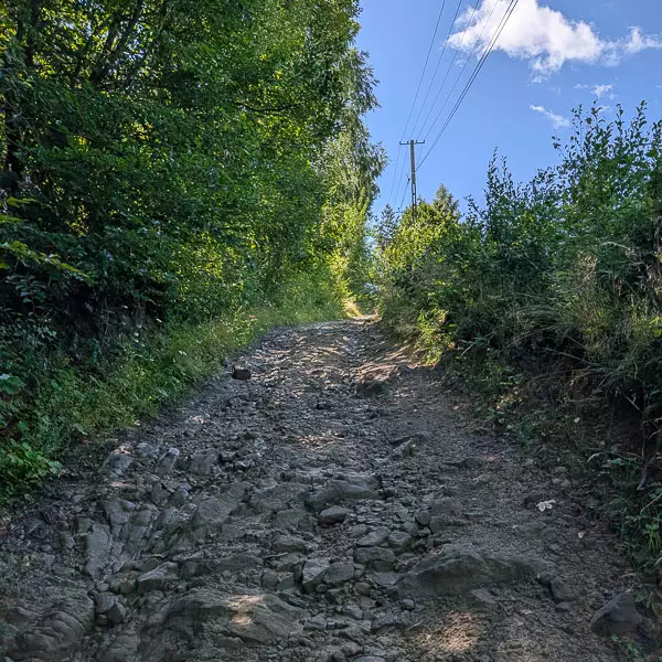
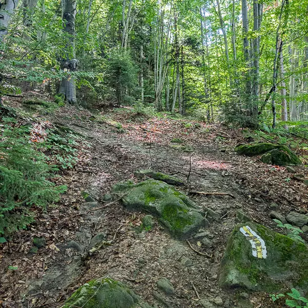
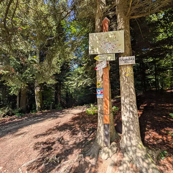
From the forest edge, we begin the ascent along the yellow trail, which initially leads up a forest path. The trail is rocky and fairly steep in places. In its upper sections, it passes the hamlets of Kramarzówka, Sośnia, and Bukówki. We continue along the southwestern ridge of Modyń, walking through forests and meadows. After a longer climb, we reach the ridge and soon arrive at the summit of Mała Modyń (988 m a.s.l.), offering a beautiful view over the Łącko valley.
Distance: approx. 1.8 km
Elevation gain: approx. +160 m / –10 m
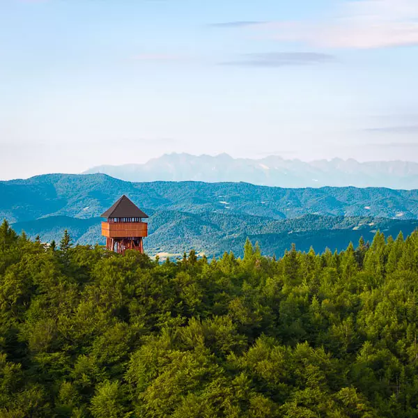
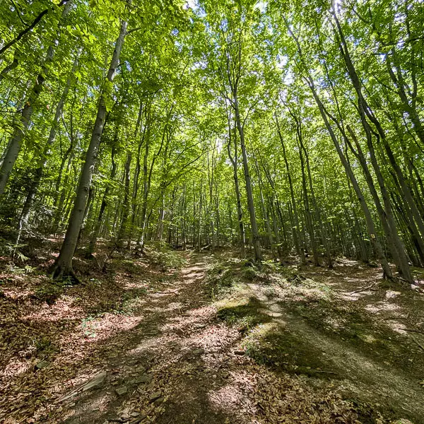
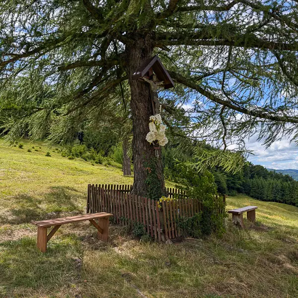
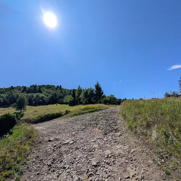
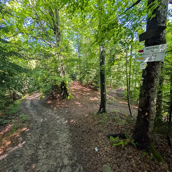
From Mała Modyń, we continue along the yellow trail following the wide ridge toward the summit of Modyń. We ascend gently, keeping to the ridge, until we reach the point where the blue trail joins from the right. From there, both trails run together. After a few hundred meters of easy climbing, we reach the summit clearing of Modyń, where an observation tower stands – the final point of our route.


-2025-08-29-10-44-55.svg)
-2025-08-29-10-44-55.svg)
-2025-09-16-09-47-54.webp)